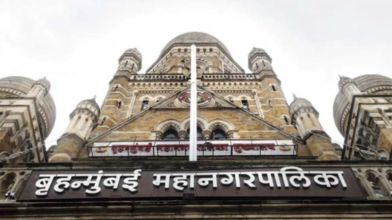
BMC is making an attempt to upgrade itself digitally with an upcoming app. You can have access to this app within 15 days and find civic amenities like underground pipelines network and nearby fire hydrants, sewage lines and land reservations, everything in your pocket. This app will have a digital map comprising of 17 departments, including major ones such as fire, stormwater drains, roads, building proposals, health, etc. Every bit of information about the above-mentioned departments will be present in the app.
While taking up construction work, the developers will be notified about existing pipeline network to avoid damage. This information will be very useful in trenching of roads, as all the details related to the pipeline network, at what distance it is stretched etc can be known through the app.
Similarly, this app will come in handy for fire officials during emergencies as they will be able to identify the nearest fire hydrants. All information regarding the present ward as well as the present status of the civic amenities will be made available by the app. An official has told that most of the data has been already mapped by the officials and will be added to the system soon.
The aim of the inception of this app is to reduce the number of queries coming under the Right to Information Act (RTI). The officials are still deciding over the limit of data access that will be made available to the citizens. The app is supposed to bring down the number of RTI queries by 50-70 percent as all the information will be at their disposal.
Data on the ongoing road work is intended to be uploaded in the second phase of the project by the BMC. This plan will enable the officials to see the entire details of every property, its pending arrears in property taxes and also reservation of land under the development plan.
The designation of the land will be according to the development plan for 1991 and 2014. With the help of the app, ward officials will be able to identify illegal constructions in their wards by updating the system after routine visits.


